county maps for current location
Use county maps before you rely on a city label, postal label, or nearby landmark.
 카운티 찾기
County boundary map
미국 전역의 상세한 경계선과 인터랙티브 경계를 가진 포괄적인 카운티 지도를 발견하세요. 저희의 고급 미국 카운티 지도 플랫폼은 Google Maps를 정밀한 지리 데이터와 통합하여 가장 상세한 카운티 매핑 경험을 제공합니다. 정확한 카운티 경계 시각화가 필요한 연구자, 학생, 정부 관계자, 지리 애호가에게 완벽합니다.
대화형 매핑 도구로 미국 카운티를 탐색하세요. 카운티를 클릭하여 상세 정보와 인구 통계를 발견하세요.
Loading interactive map...
How to use:
Complete US coverage
Streets, satellite, light, dark
카운티를 클릭하여 상세 정보 보기
Download high-res images
카운티 경계와 지리 정보를 탐색하는 간단한 3단계 과정
정확한 경계선이 있는 상세한 카운티 지도를 보기 위해 주 또는 지역을 선택하세요. 저희 미국 카운티 지도 시스템은 인터랙티브 내비게이션과 줌 기능을 갖춘 50개 주 전체의 포괄적인 커버리지를 제공합니다.
Google Maps 통합을 사용하여 인터랙티브 카운티 지도를 탐색하세요. 카운티를 클릭하여 상세 정보, 경계 데이터, 지리적 특징을 확인하세요.
인구 통계, 지리적 경계, 인접 카운티, 지방 정부 정보를 포함한 포괄적인 카운티 데이터를 얻으세요. 연구, 교육, 전문 지리 분석에 완벽합니다.
저희 카운티 지도 플랫폼은 Google Maps와 완벽하게 통합되어 가장 정확하고 상세한 카운티 경계 시각화를 제공합니다. 인터랙티브 미국 카운티 지도는 전문가 수준의 정밀도로 줌, 팬, 탐색이 가능합니다.
미국 전역의 3,142개 카운티와 카운티 동등 지역을 커버하는 상세한 카운티 지도를 탐색하세요. 저희 포괄적인 데이터베이스는 정확한 경계선 정보를 가진 영토, 교구, 자치구, 독립시를 포함합니다.
기본 카운티 경계를 넘어서, 저희 지구 지도 기능은 선거구, 학군, 행정 경계의 상세한 시각화를 제공하며 포괄적인 지리 분석을 위한 중첩 관할구역과 경계 관계를 보여줍니다.
학생과 교육자에게 완벽! 저희 카운티 지도 플랫폼은 카운티 형성, 경계 변화, 지리적 의미에 대한 교육 리소스를 포함합니다. 인터랙티브 카운티 라인 시각화는 정치 지리와 행정 구역 이해를 돕습니다.
인구 통계 오버레이, 경제 데이터 통합, 경계 분석 기능을 포함한 연구자와 전문가를 위한 고급 도구. 저희 카운티 지도 플랫폼은 상세한 카운티 라인 데이터와 통계 통합으로 전문 지리 연구를 지원합니다.
모든 기기에서 상세한 카운티 지도에 액세스! 저희 반응형 미국 카운티 지도 플랫폼은 터치 최적화 컨트롤과 빠른 로딩 지리 데이터로 데스크톱, 태블릿, 모바일 기기에서 원활한 기능을 제공합니다.
county maps works best when the page gives a quick answer, explains the limits, and points you toward the next verification step. Use county maps as the starting point, then confirm with GPS, address, ZIP, or map context when accuracy matters.
Use county maps before you rely on a city label, postal label, or nearby landmark.
Use county maps when an exact street address is safer than a broad search.
Use county maps because postal areas can cross local boundaries and create mixed answers.
Use county maps when you need to see nearby lines before confirming a point.
Use county maps before you use the answer for voting, tax, school, or court work.
Use county maps when road trips, delivery routes, or emergency notes need local context.
Use county maps before parcel, assessor, recorder, or permit research moves forward.
Use county maps when local district questions should start with precise geography.
Use county maps when a business, agency, or help desk needs the right local office.
Treat county maps as a practical answer layer, then use county maps with an exact location whenever the result affects a real decision.
Visual workflow
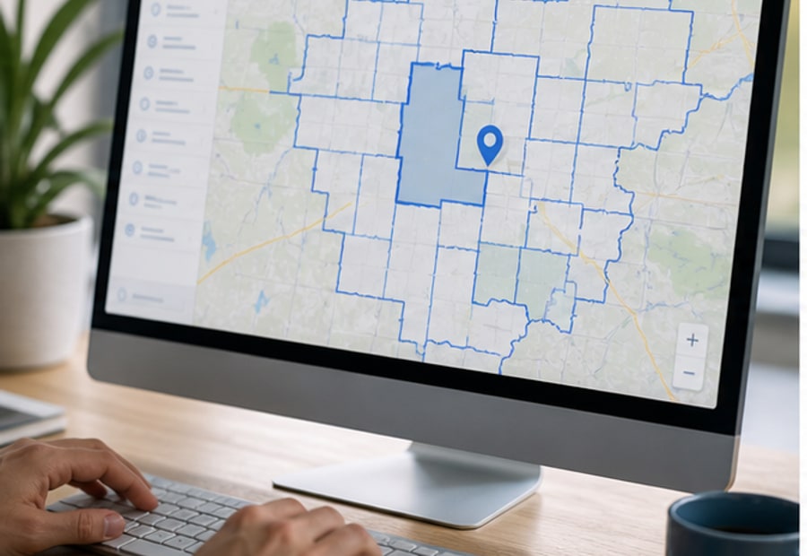
Locate
Start with your current point or the address you need to check.
county maps interactive boundary explorer
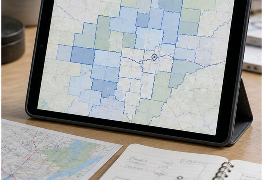
Compare
Compare the county answer with ZIP, city, and nearby map context.
county maps county lines research workflow
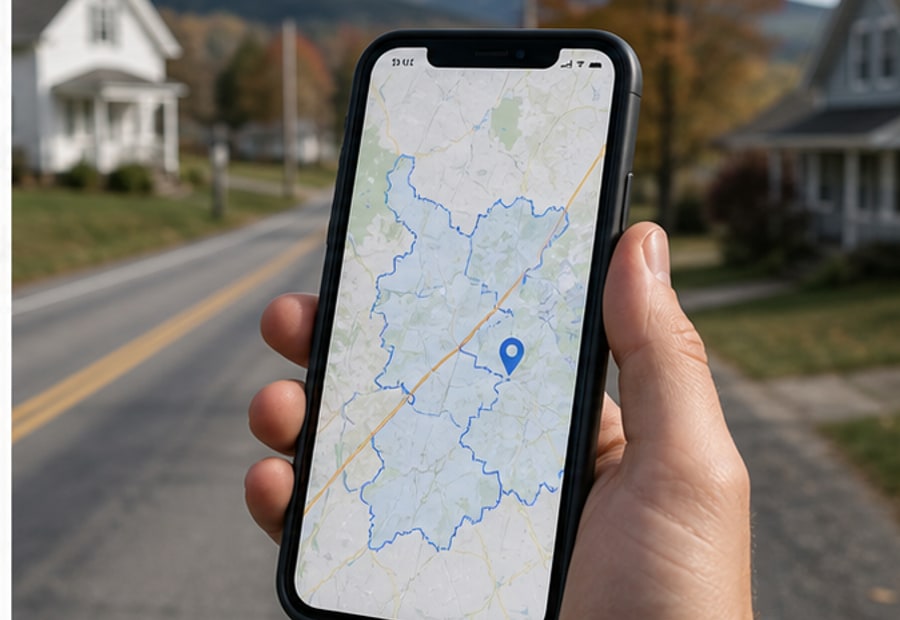
Confirm
Use the boundary view when the result affects official decisions.
county maps address and boundary verification
These visuals support the lookup flow. For taxes, courts, permits, elections, or school boundaries, confirm with the responsible county office.
가장 포괄적인 카운티 매핑 플랫폼을 발견할 준비가 되셨나요? 상세한 카운티 라인과 Google Maps 통합을 갖춘 저희 인터랙티브 카운티 지도는 수천 명의 교육자, 연구자, 계획가, 전문가들이 지리적 경계를 정밀하게 시각화하는 데 도움을 주었습니다.