county maps for current location
Use county maps before you rely on a city label, postal label, or nearby landmark.
 私はどの郡にいますか
County boundary map
米国全土にわたる詳細な境界線とインタラクティブな境界を持つ包括的なカウンティマップを発見してください。私たちの高度な米国カウンティマッププラットフォームはGoogle Mapsを精密な地理データと統合し、利用可能な最も詳細なカウンティマッピング体験を提供します。正確なカウンティ境界可視化が必要な研究者、学生、政府関係者、地理愛好家に最適です。
インタラクティブマッピングツールで米国の郡を探索します。任意の郡をクリックして詳細情報と人口統計を発見します。
Loading interactive map...
How to use:
Complete US coverage
Streets, satellite, light, dark
任意の郡をクリックして詳細情報を表示
Download high-res images
カウンティ境界と地理情報を探索するシンプルな3ステッププロセス
詳細なカウンティマップと正確な境界線を表示するために州または地域を選択してください。私たちの米国カウンティマップシステムは、インタラクティブナビゲーションとズーム機能を備えた全50州の包括的なカバレッジを提供します。
Google Maps統合を使用してインタラクティブカウンティマップをナビゲートします。カウンティをクリックして詳細情報、境界データ、地理的特徴を確認してください。
人口統計、地理的境界、隣接カウンティ、地方政府情報を含む包括的なカウンティデータを取得します。研究、教育、プロフェッショナル地理分析に最適です。
私たちのカウンティマッププラットフォームはGoogle Mapsと完全に統合し、利用可能な最も正確で詳細なカウンティ境界可視化を提供します。インタラクティブ米国カウンティマップでは、プロフェッショナルグレードの精度でズーム、パン、探索が可能です。
米国全土の3,142のカウンティとカウンティ相当地域をカバーする詳細なカウンティマップを探索してください。私たちの包括的なデータベースには、正確な境界線情報を持つ領土、教区、特別区、独立市が含まれています。
基本的なカウンティ境界を超えて、私たちの地区マップ機能は選挙区、学区、行政境界の詳細な可視化を提供し、包括的な地理分析のための重複する管轄区域と境界関係を表示します。
学生と教育者に最適!私たちのカウンティマッププラットフォームには、カウンティ形成、境界変更、地理的意義に関する教育資料が含まれています。インタラクティブカウンティライン可視化は政治地理と行政区画の理解を助けます。
人口統計オーバーレイ、経済データ統合、境界分析機能を含む研究者とプロフェッショナルのための高度なツール。私たちのカウンティマッププラットフォームは詳細なカウンティラインデータと統計統合でプロフェッショナル地理研究をサポートします。
任意のデバイスで詳細なカウンティマップにアクセス!私たちのレスポンシブ米国カウンティマッププラットフォームは、タッチ最適化コントロールと高速読み込み地理データでデスクトップ、タブレット、モバイルデバイス全体でシームレスな機能を提供します。
county maps works best when the page gives a quick answer, explains the limits, and points you toward the next verification step. Use county maps as the starting point, then confirm with GPS, address, ZIP, or map context when accuracy matters.
Use county maps before you rely on a city label, postal label, or nearby landmark.
Use county maps when an exact street address is safer than a broad search.
Use county maps because postal areas can cross local boundaries and create mixed answers.
Use county maps when you need to see nearby lines before confirming a point.
Use county maps before you use the answer for voting, tax, school, or court work.
Use county maps when road trips, delivery routes, or emergency notes need local context.
Use county maps before parcel, assessor, recorder, or permit research moves forward.
Use county maps when local district questions should start with precise geography.
Use county maps when a business, agency, or help desk needs the right local office.
Treat county maps as a practical answer layer, then use county maps with an exact location whenever the result affects a real decision.
Visual workflow
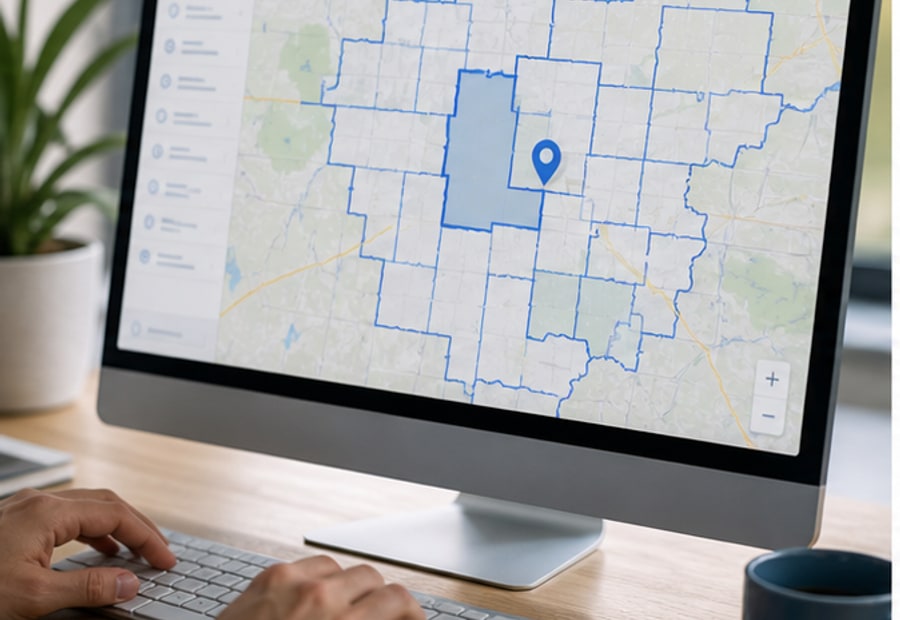
Locate
Start with your current point or the address you need to check.
county maps interactive boundary explorer
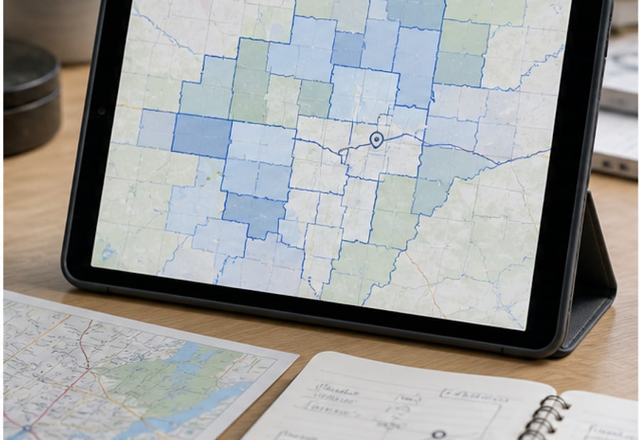
Compare
Compare the county answer with ZIP, city, and nearby map context.
county maps county lines research workflow
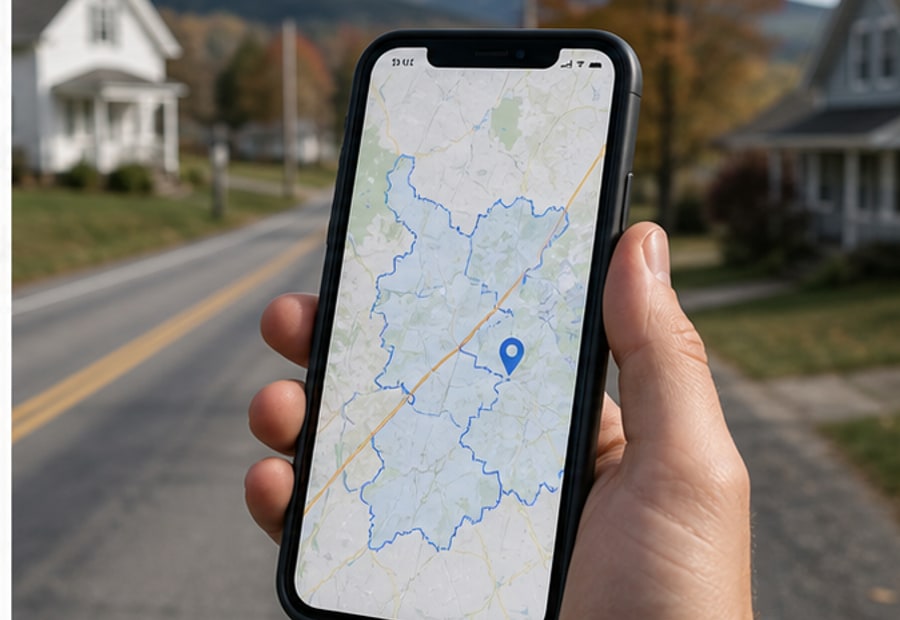
Confirm
Use the boundary view when the result affects official decisions.
county maps address and boundary verification
These visuals support the lookup flow. For taxes, courts, permits, elections, or school boundaries, confirm with the responsible county office.
利用可能な最も包括的なカウンティマッピングプラットフォームを発見する準備はできていますか?詳細なカウンティラインとGoogle Maps統合を備えた私たちのインタラクティブカウンティマップは、教育者、研究者、プランナー、プロフェッショナルが地理境界を精密に可視化するのを助けてきました。