What County Am I In - Free Location FinderWhat County Am I In
Interactive boundary tool

Best County Lines Map to Show Boundaries

Use this county lines map when you need to understand where one county ends and another begins. It is built for quick research, trip planning, property checks, school projects, reporting, and local service questions. Start with the map, then use GPS, an address, or a ZIP code when you need a precise county answer.

County Maps for Interactive Boundary Lookup

Explore US counties with our interactive mapping tool. Click on any county to discover detailed information and demographics.

Loading interactive map...

Select State

How to use:

  • Select a state to zoom to that region
  • Click anywhere on the map to get county information
  • Use the style selector to change map appearance
  • Download the current map view as an image

Interactive Mapping Features

3,142 Counties

Complete US coverage

Multiple Styles

Streets, satellite, light, dark

Explore Counties

Click on any county to view detailed information

Export Ready

Download high-res images

Show County Lines Before You Make a Decision

A county lines map is most useful when the question is visual. You may know the city, road, ZIP code, or region, but not the exact county boundary. This page gives you a practical path: inspect the county boundary map first, then confirm the exact county with the right lookup method.

County lines matter for voting offices, property tax, court records, emergency management, permits, school research, and local government services. A map view helps you spot nearby county borders before you rely on a single city or ZIP result.

  • View counties by state
  • Compare county boundaries around metro areas
  • Move from map research to GPS, address, or ZIP lookup
County Boundary Map vs. Address Lookup

A county boundary map is excellent for context, while address lookup is best for official tasks. If you are checking a parcel, voter registration, tax office, courthouse, or local service area, use the map for orientation and then run a county lookup by address.

ZIP codes are postal routes, not county boundaries. That is why a ZIP code can cross county lines. For a fast first pass, ZIP lookup is helpful. For a final answer, a street address or GPS coordinate is stronger.

Best Uses for a US County Map

Use the US county map for education, market research, journalism, travel planning, and regional comparison. Students can see how counties fit inside states. Researchers can identify counties around a metro area. Travelers can understand which local government serves a destination.

The strongest workflow is simple: explore boundaries, click or search the area, then confirm the county with a direct lookup tool. That gives you both visual confidence and a precise result.

Key features that match search intent

Each page is built around the exact job users are trying to complete.

Visual county boundaries

Explore county lines in a map-first interface so border questions are easier to understand.

Fast county confirmation

Move from map research to address, GPS, or ZIP lookup when you need a direct answer.

State and metro context

Compare neighboring counties around large cities, suburbs, highways, and rural areas.

Privacy-friendly workflow

Location tools run only when you choose to share GPS or enter a location.

How it works

A fast workflow for a useful, trustworthy location answer.

1

Open the map

Start with the interactive map and choose a region or state to inspect county lines.

2

Zoom near the boundary

Look closely at the area where city, ZIP, or county borders may overlap.

3

Confirm the exact county

Use GPS, address lookup, or ZIP lookup to validate the county result.

4

Use the result

Apply the confirmed county to voting, real estate, research, travel, or local service tasks.

county lines map decision checklist

county lines map works best when the page gives a quick answer, explains the limits, and points you toward the next verification step. Use county lines map as the starting point, then confirm with GPS, address, ZIP, or map context when accuracy matters.

county lines map for current location

Use county lines map; confirm county lines map before final use.

county lines map for address verification

Use county lines map; confirm county lines map before final use.

county lines map for ZIP review

Use county lines map; confirm county lines map before final use.

county lines map for map context

Use county lines map; confirm county lines map before final use.

county lines map for official forms

Use county lines map; confirm county lines map before final use.

county lines map for travel planning

Use county lines map; confirm county lines map before final use.

county lines map for property research

Use county lines map; confirm county lines map before final use.

county lines map for school checks

Use county lines map; confirm county lines map before final use.

Treat county lines map as a practical answer layer, then use county lines map with an exact location whenever the result affects a real decision.

Visual workflow

County lines map visual workflow

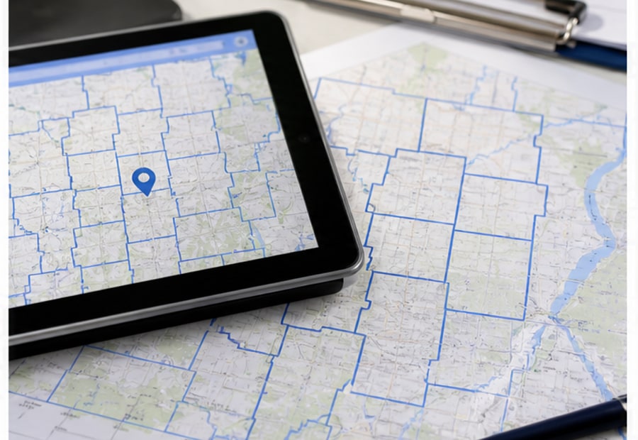
county lines map showing US county boundaries

Locate

Start with your current point or the address you need to check.

county lines map showing US county boundaries

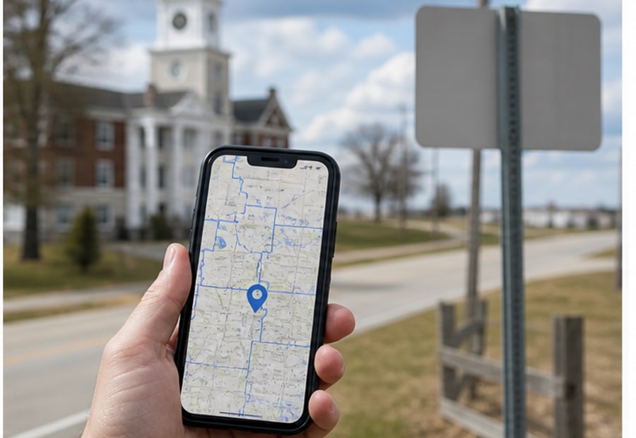
county boundary map with address lookup workflow

Compare

Compare the county answer with ZIP, city, and nearby map context.

county boundary map with address lookup workflow

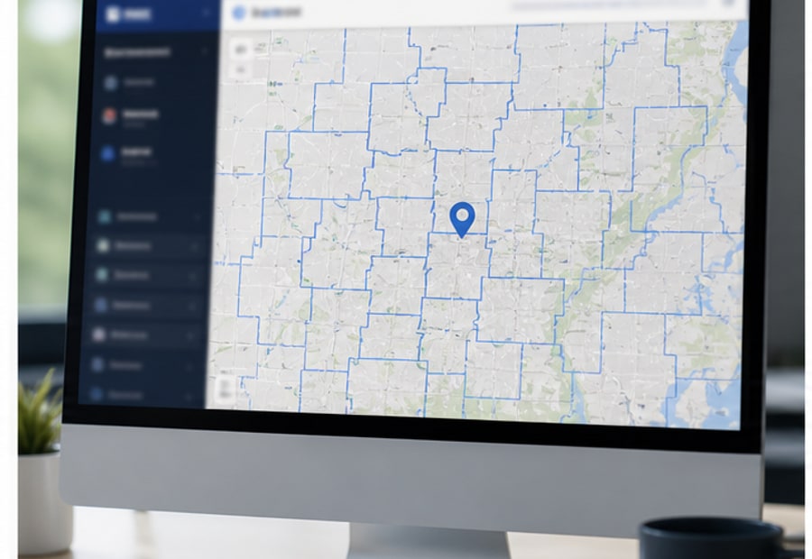
interactive county map for county line research

Confirm

Use the boundary view when the result affects official decisions.

interactive county map for county line research

These visuals support the lookup flow. For taxes, courts, permits, elections, or school boundaries, confirm with the responsible county office.

Frequently asked questions